
Give Back to the Yellowstone
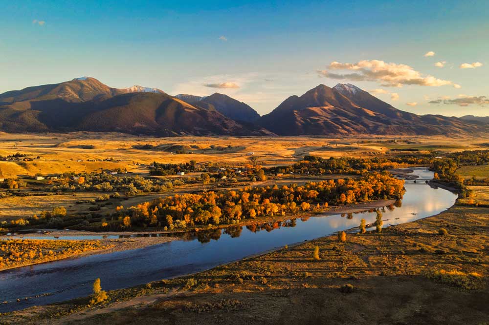
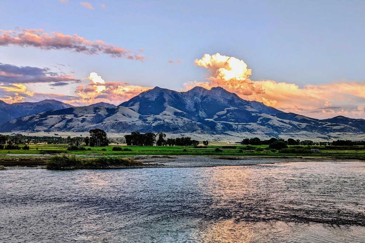
The Yellowstone River is a national treasure.
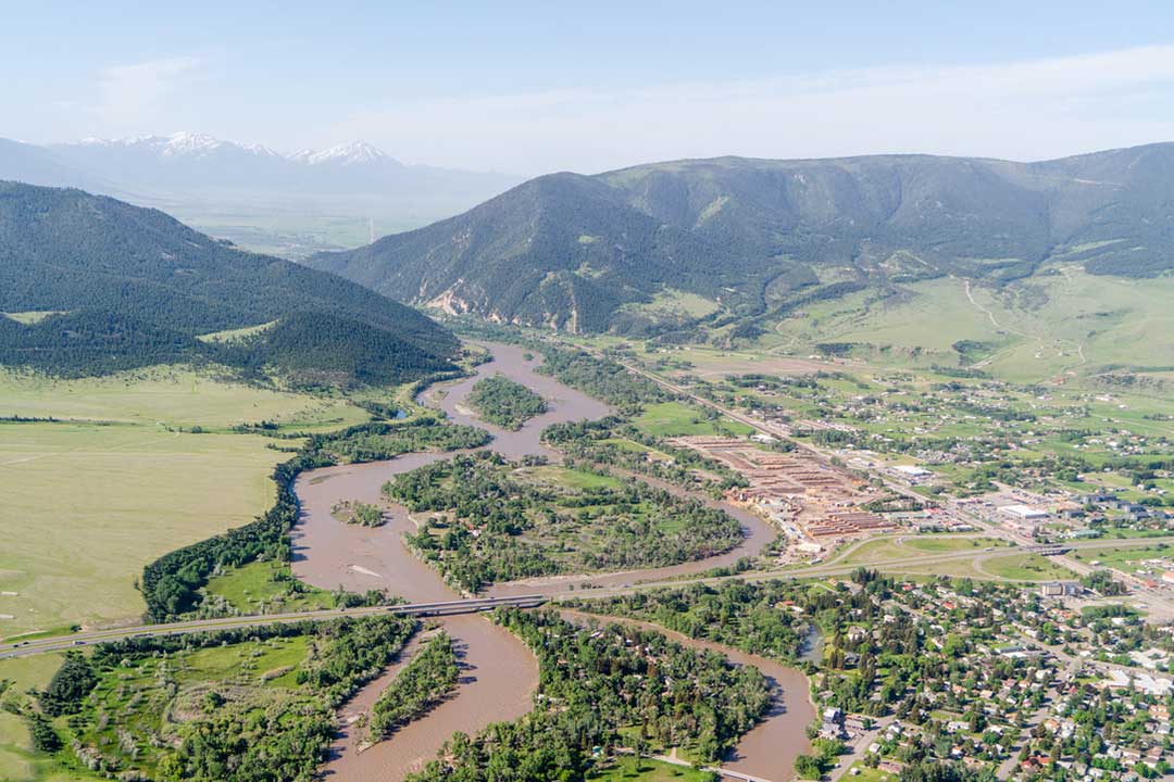
It flows from its headwaters near Yellowstone National Park through Montana’s Paradise Valley, before cutting east across the state to eventually empty into the Mississippi watershed. The upper stretches of the river are undammed; the Yellowstone is the longest free-flowing river in the lower 48, bears deep cultural importance to dozens of tribes, and is home to some of the best trout fishing in the country.

In June 2022, a record-breaking flood hit the river and its tributaries. The river’s silty waters nearly breached a levee less than a mile from our office. For years, the river’s been under threat from development and subdivision, streambank hardening, overallocation of water, invasive species, an influx of recreational use, and a changing climate. The flood made this confluence of impacts acutely visible right here, in our backyard.
Our Approach
Our work along the Yellowstone has two main goals; to improve habitat and help ecosystems thrive, and to enhance the resilience of communities and people living near the river. Our goals are ambitious, and to reach them we’re putting into practice three approaches:


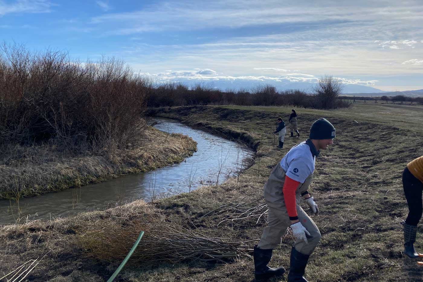
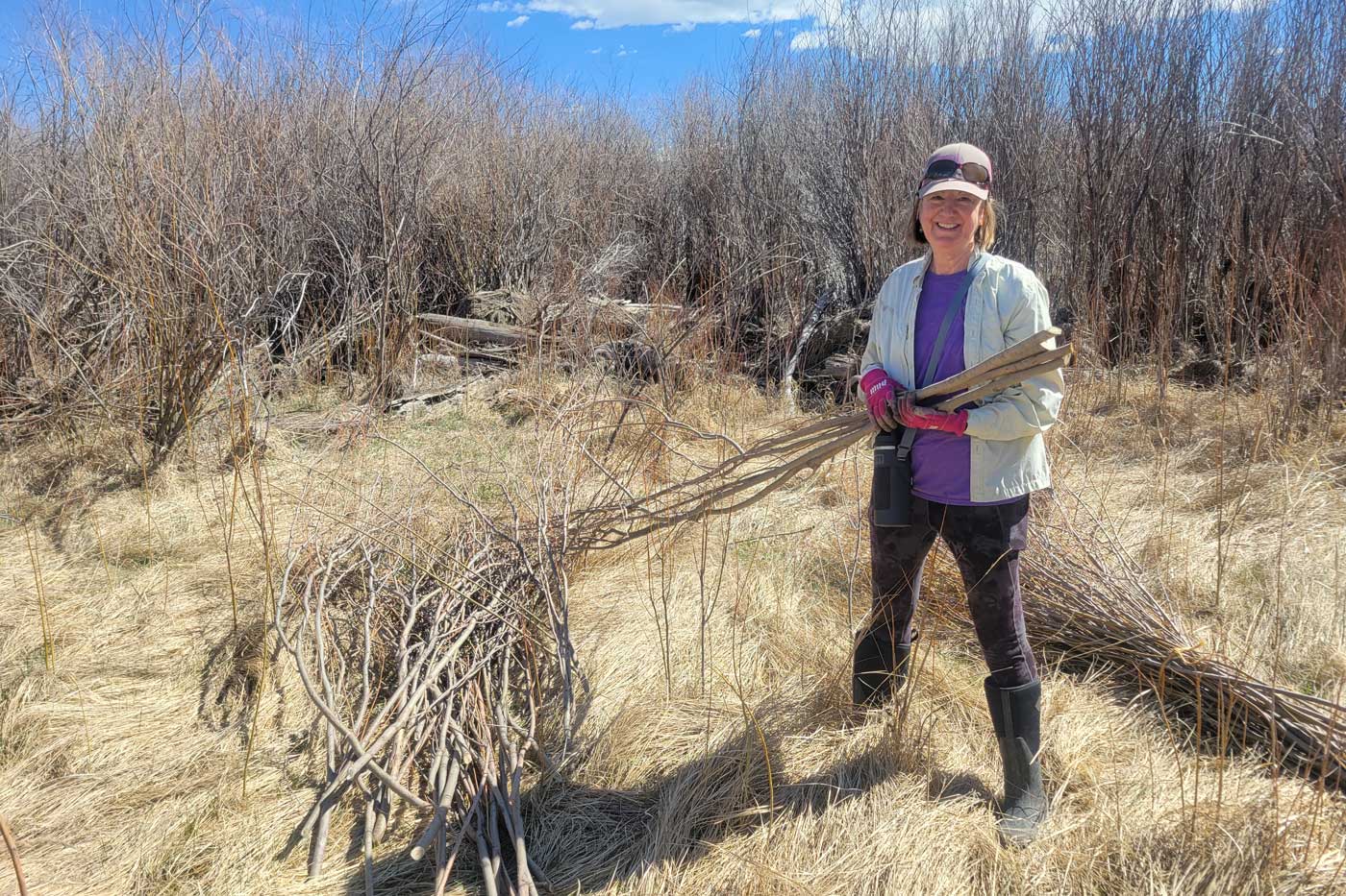
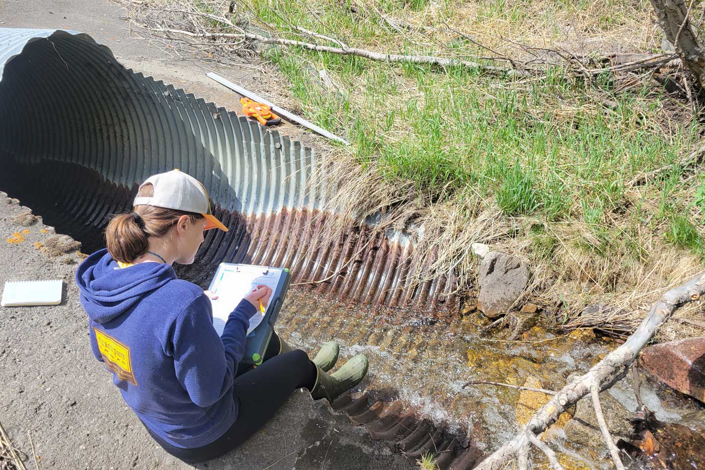
Watershed Restoration Projects
Identify and implement impactful, on-the-ground restoration projects.


Flood and Drought Mitigation
Mitigate the impacts of flood and drought on communities and infrastructure.


Education and Outreach
Engage with and educate communities that depend on the river.

Donate Now
To support Montana Freshwater Partners’ efforts to preserve, restore and enhance the Yellowstone River, considering donating to the Give Back Program today!
Featured Projects
2026 Partners


Jacob's Engineering
Livingston Tourism BID
WGM Group
How to Get Involved?
Donate
Your generosity makes a big difference for Montana’s rivers, streams and wetlands.
Volunteer
Join us to help restore our precious aquatic resources!
Business Partnership
Show your support of Montana’s rivers, streams and wetlands.
Calling All Fishing Guides!

Guides for the Yellowstone
Help support MFP’s Give Back to the Yellowstone efforts to improve habitat and help ecosystems thrive and show your love and support for our beloved Yellowstone River.

Restoration and Community Engagement Achievements
restoration, planning, and outreach projects identified
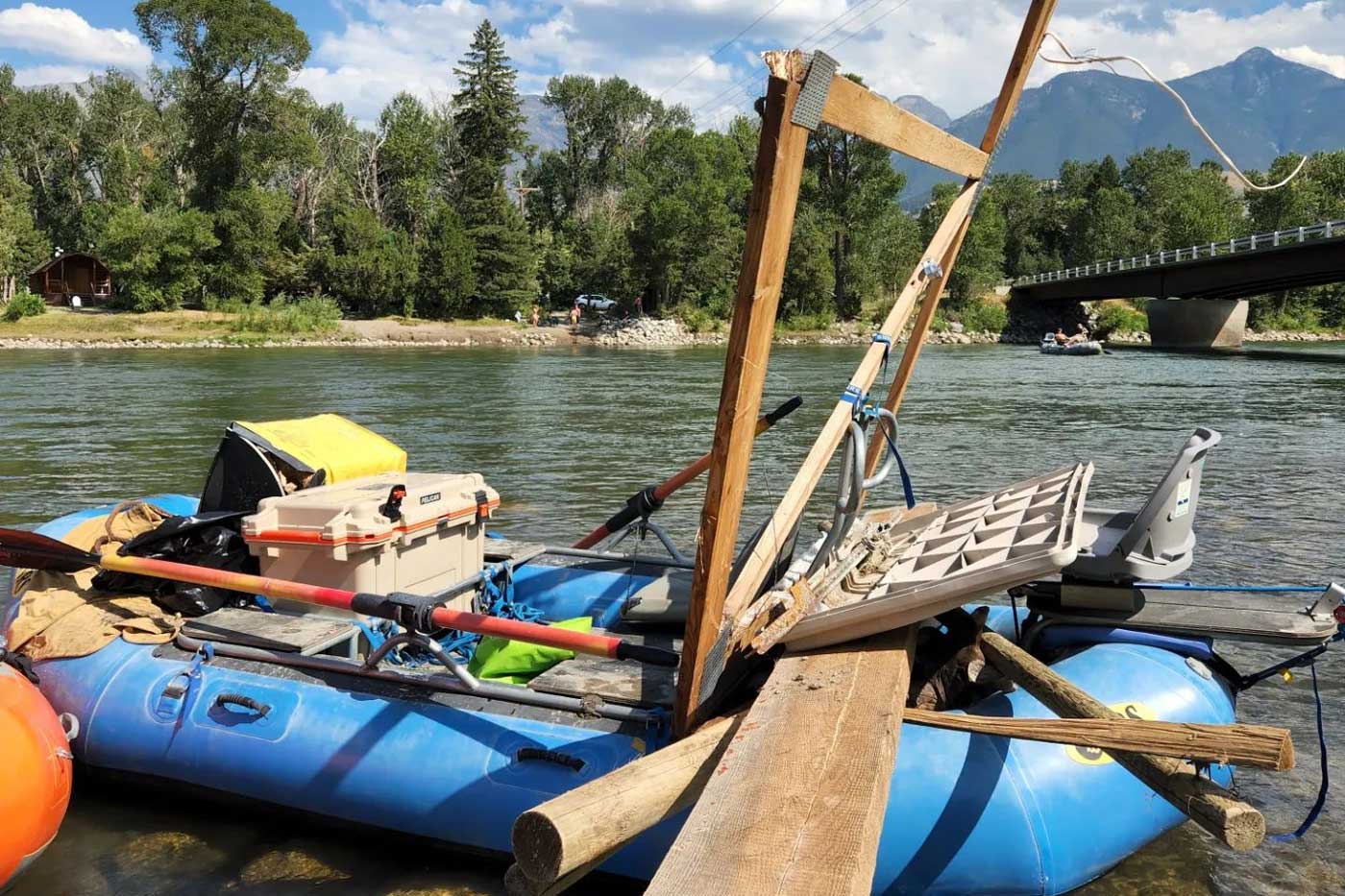
tons of debris removed from the river
miles of river/tributaries enhanced/restored
volunteers participated in restoration efforts
Life in the Land
The dynamics facing Park County’s Paradise Valley are unique. In this film, discover the challenges facing the Upper Yellowstone through the perspectives of a local rancher, a business owner, an educator, and our Executive Director, Wendy Weaver.